
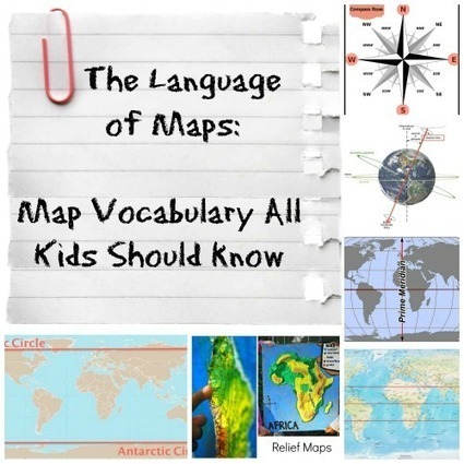

The vocabulary and concepts of maps kids should learn to enhance their map-skills & geography awareness. Concise definitions with clear illustrations.
Via Nicoletta


|
Rescooped by
Catherine Smyth
from Geographical Terminology Stage 2 (Cardinal Directions)
onto Primary geography May 12, 2014 12:48 AM
|
 Scoop.it!
The vocabulary and concepts of maps kids should learn to enhance their map-skills & geography awareness. Concise definitions with clear illustrations.


 Your new post is loading...
 Your new post is loading...
Your new post is loading...
Scoop.it!
Use your sense of hearing and listen to the beauty of nature. Nature is filled with wonderful music. Let your imagination guide you while creating a nature sound map.
Scoop.it!
The Spatialworlds blog is a repository of teaching resources, images, commentary and website links for those interested in spatial education, spatial technology and geography in schools.
Scoop.it!
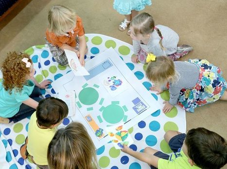
Find activities that develop map skills in students from preK to Grade 6.
Scoop.it!
Catherine Smyth's insight:
Documentary making about a geographical issue enables primary students to organise and communicate new geographical knowledge. It also provides rich opportunities for developing ICT skills in a purposeful way.
Scoop.it!
Catherine Smyth's insight:
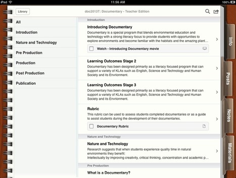
The Field of Mars Education Centre highlights a range of Apps to enable students to generate, organise and communicate geographical knowledge.

bari.forde@cqumail.com's comment,
May 26, 2021 6:08 PM
@Brianna Brett I really like this resource. What a great way of implementing digital technologies into the classroom and better yet making learning relevant to students through various apps to use. What a wonderful way to transform learning and engage students! No longer sitting in a classroom reading and writing.
Scoop.it!
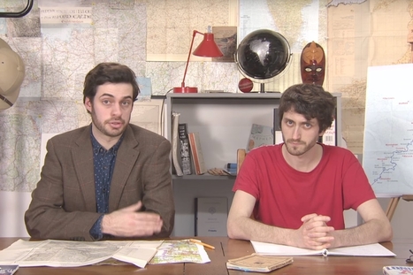
Mark Cooper-Jones and Jay Foreman, the Map Men, tap into a rich vein of geographical quirks to teach through comedy
Catherine Smyth's insight:
Feeling lost teaching geography? Navigate your way through the new concepts, skills and content in the new Australian Curriculum and K-6 syllabus by developing geographical understanding.

Jeremy Hansen's curator insight,
August 29, 2016 12:43 PM
Holy heck these guys are good! I'd like to see more of these Map Men videos. I'm sure at least some of my 8th graders can appreciate some British wit.
Scoop.it!
Catherine Smyth's insight:
Not sure about the title, but like the 23 different ways to represent Australia.
Scoop.it!

Powerhouse Museum – These forty two photographs show aspects of urban and rural life, resource use, farming and transport in Australia between 1890 and 1915. Most depict changing Via Karen Zhou

Karen Zhou's curator insight,
April 12, 2016 8:17 AM
This is a great geographical tool that develops knowledge and understanding of past human actions and impacts of these on the environment. Students examine photographs that show how environments have been transformed by humans to suit their interests and needs. Many of these practices have been detrimental to the environment in the long-term. Emphasise to students that without proper care, the environment cannot sustain itself into the future. This is thus useful for introducing students to the idea of sustainability, and would act as an apt introductory activity to the unit. It useful for getting students to ask the key inquiry question: how can people use environments and place more sustainably? Teachers may consider using “See Think Wonder” during photograph observations. (More details on this thinking routine here: http://www.visiblethinkingpz.org/VisibleThinking_html_files/03_ThinkingRoutines/03c_Core_routines/SeeThinkWonder/SeeThinkWonder_Routine.html) This may be a large or small group activity. Teachers may wish to structure this activity in two stages: 1) Observation of photographs (encourage students to note down the details that are useful for later discussion, e.g. blurred background of urban landscape) Depending on how the discussion is run, the photographs may be shown on an interactive whiteboard or printed and laid out on the table for viewing 2) Web task as students visit the Powerhouse Museum page and read the descriptions provided. Students should be encouraged to think about the What, Where, Why and Impact (Kriewaldt and Boon, 2012) When evaluating the data, students can rank the photographs by degree of harm the described action has caused the environment. Ask students why they chose to order the photographs in that way, and allow students to freely offer their views and disagree. As a closure to this inquiry process, teachers may wish to use the Connect Extend Challenge VisibleThinking routine to gauge students’ prior knowledge, and help them communicate the new understandings and questions that have emerged from this activity. References: -Kriewaldt, J. & Boon, D. (2012) Geographical inquiry. In Tony et al. (ed) Place and Time – Explorations in Teaching Geography and History (pp.129-142). Frenchs Forest: Pearson Australia.
Scoop.it!

Google Earth lets you fly anywhere on Earth to view satellite imagery, maps, terrain, 3D buildings, from galaxies in outer space to the canyons of the ocean. You can explore rich geographical content, save your toured places, and share with others. Via Amy Cohn

Amy Cohn's curator insight,
April 7, 2016 4:02 AM
Google Earth is a great teacher and student resource. Aligning with the Stage 2 syllabus outcome to "examine features and characteristics of places and environments" the multi-dimensional aspect of this mapping program allows the students to explore the different characteristics of the Australian landscape, looking out for changes in terrain or identifying iconic buildings and natural phenomena specific to different areas around Australia. You can explore the differences between states and their climates and the iconic features that are individual to each.
This program could be used as a teacher run activity where the whole class examines the same map on a projector or interactive smart board and the teacher is able to navigate students around the map.
This could also be used by students on either a computer or tablet, getting them to explore different states and territories and come up with a list of characteristics and features for different parts of Australia whether in terrain view, or 3D view etc. This task could be an individual task or one where students are divided up into groups for a particular area. This sort of individual, independent task allows students to take a self directed inquiry based approach to their own learning. According to Kriewaldt and Boon it important for students to be progressively working towards designing their own investigations to collect geographical data and draw their own conclusions (2012, p.132). References: BOSTES NSW. (2016). New NSW Syllabus: Geography K-10. Retrieved from http://syllabus.bostes.nsw.edu.au/hsie/geography-k10/ ; Kriewaldt, J. & Boon, D. (2012). Geographic Inquiry (Chapter 9). In Taylor, Fahey, Kriewaldt & Boon. Place and Time. Explorations in Teaching Geography and History. Frenchs Forest: Pearson Australia |
Scoop.it!
Facebook Twitter LinkedIn Print Friendly
Scoop.it!
Comprehensive book list and suggested activities to teach geographical concepts and skills.
Scoop.it!
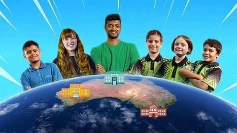
Project Planet showcases a group of dynamic young people from three diverse classrooms across the country who are ready to shake things up. Over 8 weeks, these Waste Warriors take on a huge mission to transform their schools from being eco wastelands to waste-wise wonderlands.
Scoop.it!
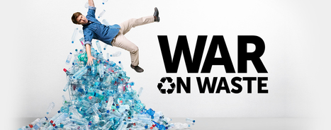
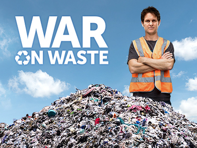
Join Craig Reucassel in this three-part series, on a mission to see if we, as a nation, can reduce our waste. #WarOnWasteAU
Scoop.it!
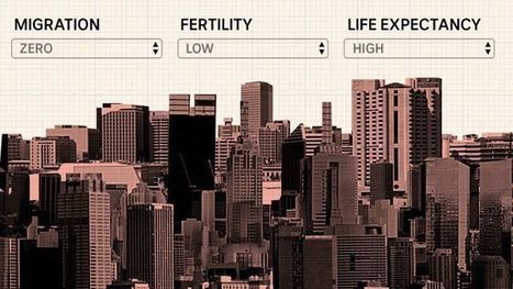
We're putting you in charge of the levers of population growth to shape what Australia will look like in 2101. A word of warning before you begin: your decisions could shape the future for millions of Australians.
Scoop.it!
Catherine Smyth's insight:
Activate geographical knowledge through geographic inquiry. Explore the hands-on teaching resources developed by 'The Field of Mars' Education Centre.
Scoop.it!
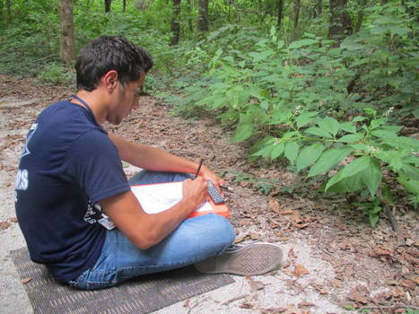
Getting kids out in nature on a regular basis helps kids' development. Some schools have partnerships with local parks but students in the Ferguson-Floriss
Catherine Smyth's insight:
Learning outside the classroom... "Research into the cognitive benefits of green space is still in its infancy, but one of the stronger studies on the subject found a connection between increased green space and increased attentiveness and working memory over a 12-month period among some 2,500 elementary school children." (Shaffer, 2017).
Scoop.it!

Get students outside making videos to demonstrate their understanding of different subject areas. These four apps make digital storytelling easy and fun.

Brianna Brett's curator insight,
May 13, 2021 6:22 AM
The article by ISTE provides four explicit examples of applications that allow for digital pedagogy, specifically in their applicability to geography as a subject area. Upon exploration of the potential apps listed, including WeVideo, Shadow Puppet, Story Creator and ThingLink, it seems ThingLink could have the potential to allow learners to form creative responses to tasks/assessments/archiving of information and data that will support their learning and allow for autonomy in decision making regarding their learning. Learners could use the app to create interactive images and videos by "layering elements such as web links, sound, text, images and video clips."
For instance, learners may photograph their physical surrounding on an excursion, then use layering of text on the interactive tool to provide detailed descriptions of the geographical findings. This process allows for redefinition of learning which supports learners in engaging with the SAMR model. 
Tiana's comment,
May 24, 2021 10:12 PM
Brianna, you have done a great job relating the information to your geography classroom. In considering how technology can be used within the classroom, I particularly enjoyed your idea of incorporating the outside world, i.e. nature, into a digital lesson. Good Work
Scoop.it!
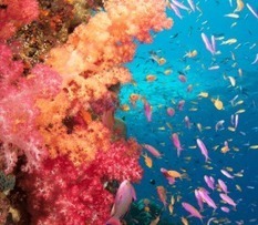
You will find video clips, documentaries, images, articles, stories and news for each major topic. These are all designed to entertain and inform at every
Scoop.it!
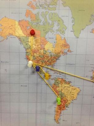
This project asks students to research food labels and record distances on a world map. It introduces the concept of food miles with various forms of representation and includes the geographic skills of maps and scale. Students are encouraged to question the transportation of food and how this impacts our environment. Via Elizabeth Walker

Elizabeth Walker's curator insight,
March 28, 2016 11:59 PM
GE2-1: A student examines features and characteristics of places and environments by investigating the origin of the food they eat. Students will investigate the climates of different places, for example how weather contributes to climate and the production of different foods and different times of the year, and the definition of 'in season'. GE2-4: A student acquires and communicates geographical information using geographical tools for inquiry. This inquiry-based activity provides a valuable context for Stage 2 students to acquire, clarify, and apply an understanding relating back to personal reference points (Edelson, 1999). Students investigate familiar food from their own home or canteen, and research the food origin that may be within or outside Australia. The New Children's Museum (California) has a great series of lesson plans that can be easily adapted for the NSW curriculum. 1. Use mapping skills to identify countries on a world map and trace them back to Australia. 2. Learn about the concept of food miles 3. Use map key to calculate distances (scale) 4. Use ICT to research additional distances www.foodmiles.com To localise the content, seasonal produce tables are available from www.sustainabletable.org.au An additional mapping exercise is available at www.localharvest.org.au whereby students can enter their postcodes to see what local producers/suppliers are in their area. An extension activity could be the Pantry Audit from Eco Friendly Food - http://www.ecofriendlyfood.org.au/media/pdf/Week%203%20Food%20Challenge%202012.pdf ; Reference Board of Studies Syllabus, NSW (2006). Human Society and Its Environment K-6 Syllabus. Sydney: B.O.S. Retrieved from http://k6.boardofstudies.nsw.edu.au/wps/portal/go/hsie Edelson, D. C., Gordin, D. N., & Pea, R. D. (1999). Addressing the challenges of inquiry-based learning through technology and curriculum design. The Journal of the Learning Sciences, 8(3/4), 391-450. doi:10.1207/s15327809jls0803&4_3 |









Global participation, interdependence, cultural diversity and globalisation are all key ideas in the HSIE K-6 Syllabus. Students learning the appropriate skills and terminology to navigate the globe and map is of critical importance to these key ideas and lay an important foundation for Stage 3 and Stage 4 outcomes that expand on this global perspective. Globes and maps assist in connecting students with their own community and importantly with the rest of the world.
This is a comprehensive yet concise blog post explaining the relevant geographical terminology that students should be learning throughout the Primary School years, with particular focus on terminology relating to maps. This blog post covers topics including the equator, the Tropic of Capricorn, Tropic of Cancer and cardinal directions. This geographical terminology is directly linked to the Stage 2 outcome ENS2.5 in the HSIE K-6 Syllabus. As part of this outcome students are required to learn this geographical terminology.
This post is an extremely useful and practical tool for teachers to understand key geographical terminology but it also provides various visual images that would be beneficial to utilise in the classroom. For example, the blog post has included a rotating 3D globe, an image of a compass rose and images of a variety of different map projections.
Reference List:
Board of Studies. (2006). Human Society and Its Environment K-6 Syllabus. NSW: Board of Studies.