Covering the last 365 days

Geography

Geography is active here where places are changing fast: heat records in Portugal, wildfires in Europe, water pressure near Berlin, rural decline in New Zealand and resilience debates in the Caribbean. The subject is not limited to maps. It follows how landscapes, routes, settlements and hazards shape daily life.

The page draws on 38 topics maintained by 19 curators, with activity in the last 365 days and the latest update on 2026-08-07. Teachers are a strong presence, especially through classroom geography, fieldwork, curriculum and exam topics, but travel selectors and regional watchers also add destination guides, heritage sites and place-based news.

The live mix is visual. YouTube, Google, Geographical and The Conversation are among the most quoted sources in the corpus. Videos explain Earth systems and history; Google My Maps anchors places; journalism and academic-style essays supply current pressure points.

Key figures

  • 38 topics
  • 19 curators
  • 324742 views
  • August 7, 2026 last activity

Cross-cutting issues

1

Short videos carry the weight of big physical geography

YouTube is doing more than hosting clips; it is becoming a common explainer for Earth systems, hazards and historical landscapes.
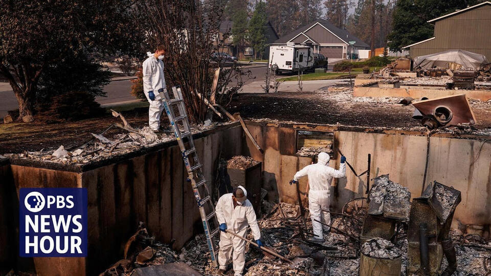
How satellites and AI cameras are detecting wildfires before they get out of control youtube.com

Geography resources for teachers shows how video has become a classroom shortcut for processes that are hard to observe directly. Its recent selections use YouTube to explain early wildfire detection, the Earth’s interior, Antarctic glaciers and extreme volcanism.

SoRo class adds a wider historical and spatial scale. Its video selections on Rome and the Persian qanat make empire, infrastructure and desert water management part of the same visual geography toolkit.

The gain is accessibility. Fast-moving hazards and deep Earth systems can be shared quickly in lessons and feeds. The trade-off is compression: complex places and processes must be reduced to a few teachable sequences.

Further reading

2

Resilience now means repair, survival and retreat

The same lens is being applied to restored landscapes, rural decline, water stress and climate hazards.

Is the Great Green Wall a mirage of hope? geographical.co.uk

New Geo 2024 frames resilience through long-range repair. Its selections move from the Great Green Wall and rewilding to Caribbean vulnerability, asking how landscapes and communities absorb pressure over time.

The same topic also treats resilience as a settlement question. Posts on Ghana’s rural-urban links and New Zealand rural towns connect development, migration and local survival rather than treating resilience as an environmental word only.

Geography resources for teachers brings the pressure closer to the present news cycle. Drought-hit English farmers, residents near Berlin fighting for drinking water and a Suffolk wildfire show how water, heat and fire turn resilience into a daily test.

Together the topics suggest a shift in geographic reading. Resilience now covers ecological restoration, infrastructure, rural livelihoods, island exposure and household water security.

Further reading

3

Deep time is being used to read today’s risks

Older landscapes and ancient systems are being used to explain modern climate, trade and geopolitical pressure.

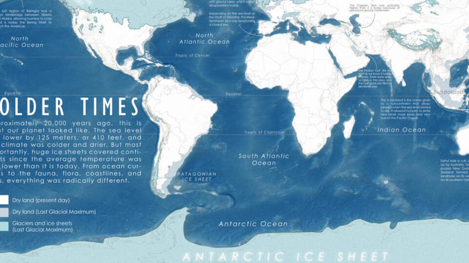
Mapped: What Did the World Look Like in the Last Ice Age? visualcapitalist.com

SoRo class uses large-scale time frames to make present geography less isolated. A mapped view of the last Ice Age, a compressed history of Rome and a video on the Persian qanat all place today’s landscapes inside much longer human and environmental systems.

Geography resources for teachers brings that scale into current events. Posts on Red Sea attacks and oil markets, a Greenland iceberg turning over, and fires in Greece, Italy and Turkey connect physical change with trade, energy and risk.

The common move is to step back. These selections ask readers to see today’s geography as the visible edge of older climate patterns, infrastructure choices, imperial routes and global chokepoints.

Further reading
4

Travel appeal now sits beside climate and housing pressure

Portugal appears not just as a destination, but as a case where heat, property, mobility and culture meet.

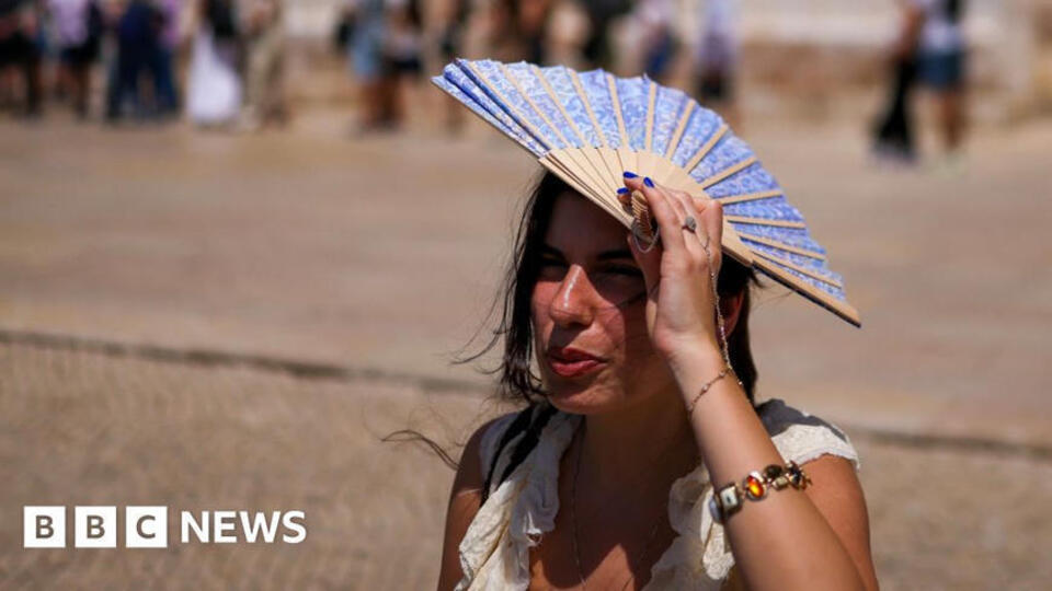
Portugal breaks hottest May day record as Europe swelters in heatwave bbc.com

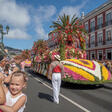
Life turns Portugal into a multi-issue place file. Recent selections move from a record May heat event to high-end property, later marriage patterns in Spain, Italy and Portugal, Madeira’s Flower Parade, elections and the future of TAP Air Portugal.

Travel framing sits beside risk framing. A post on travel advice during European wildfires puts Portugal and Spain in the same practical geography as heat, safety and seasonal movement.

My Fav Post adds the destination-list tradition through UNESCO heritage sites. Read beside the Portugal posts, it shows the tension between places as attractions and places as changing social, climatic and political systems.

Further reading

5

Does a map explain a place, or narrow it?

Maps, timelines, curriculum documents and destination lists are converging as tools for place-based inquiry.

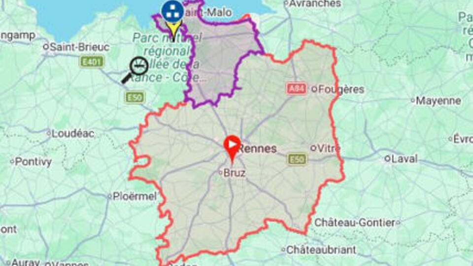
lle-et-Vilaine - Départements français n°35 – Google My Maps google.com

InfCGé4o shows the map as a working object. Its selections include Google My Maps references for Ille-et-Vilaine, northwestern Italy and the 18th arrondissement of Paris, alongside a TimelineJS item that turns sequence into a navigable frame.

Primary Geography for the Australian Curriculum brings the classroom method. A fieldwork plan template and the WA P-10 HASS curriculum point to inquiry, observation and skills rather than place names alone.

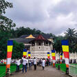
My Fav Post supplies destination content through UNESCO heritage material. When set beside mapping and fieldwork resources, that kind of place list becomes a starting point for asking where sites are, why they matter and how they are represented.

Further reading
Curators to follow

  • Maree Whiteley

    Maintains two active curriculum-facing topics, with recent selections on fieldwork planning and the WA P-10 HASS curriculum.

  • Clairelouise

    Follows broad classroom readings in SoRo class, including ice-age mapping, Rome and ancient desert engineering.

  • Andrew van Zyl

    Feeds Geography resources for teachers with video explainers on wildfires, Earth science, glaciers, volcanoes, water and farming stress.

  • janvi dalavi

    ’s My Fav Post adds destination-led material, including UNESCO heritage and travel-place lists.

  • BBHS SG

    ’s New Geo 2024 selections connect restoration, rewilding, Caribbean resilience, rural-urban links and rural decline.

  • Daniel Malys

    ’s InfCGé4o selections emphasize map-based and timeline-based references for French, Italian and Luxembourg places.

  • MyLuso

    ’s Life topic brings Portugal and nearby European places into view through climate, housing, travel and social-change posts.

Frequently asked questions

What does Geography cover on this page?

It spans 38 topics on places, maps, geography teaching, travel destinations, regions and Earth systems. Recent selections range from classroom fieldwork plans and curriculum documents to wildfire detection, Antarctic glaciers, rural resilience, Portugal travel and housing, UNESCO heritage destinations and map-based references.

Are these geography resources mainly for teachers?

Many topics are designed for teachers and students, especially those tied to Australian Curriculum geography, A-level geography, AP Human Geography and world regional geography. The page also includes travel, regional news, Antarctica, Central Asia, Portugal and beach destinations, so it is broader than school material alone.

Why do so many geography posts use video and maps?

The recent material leans heavily on shareable visual formats. YouTube explains wildfires, Earth science, glaciers, volcanoes, Rome and ancient water engineering. Google My Maps and TimelineJS appear in place-based references. These formats help turn physical processes, routes, regions and historical change into material that can be used in class or explored quickly.

What current geography issues stand out?

Climate pressure and resilience stand out. Posts cover wildfire detection, drought impacts on English farmers, Berlin-area drinking water disputes, fires in southern Europe, the Great Green Wall, rewilding, Caribbean vulnerability and rural decline. Portugal also appears through heat, housing, travel safety and political or transport change.

Can I use this page to find geography topic ideas?

Yes. The selected topics give starting points for fieldwork, map skills, climate hazards, water scarcity, landforms, interconnections, population, political geography and travel-place studies. Recent examples include a fieldwork plan template, HASS curriculum material, UNESCO heritage destinations, Google My Maps entries and explainers on glaciers, volcanoes and ancient infrastructure.

Most quoted sources

  • youtube.com 3
  • youtu.be 1
  • google.com 1
  • globaltripsfromindia.weebly.com 1
  • tourist-attractions-world.weebly.com 1
  • traveldestinationsworld.wordpress.com 1
  • travelplanningworldwide.wordpress.com 1
  • geographical.co.uk 1
  • theconversation.com 1
  • thedubaitravelguide.wordpress.com 1

This page was written by an AI from the public curation of Scoop.it topics. The posts, topics and curators it cites are real and linked directly.

Updated on August 7, 2026