


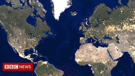
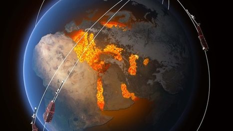
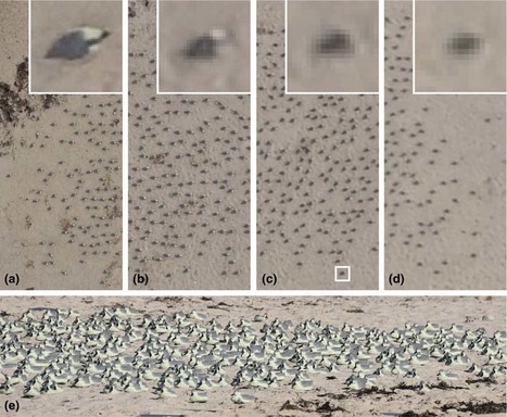
"These jarring moments expose how Google Earth works, focusing our attention on the software. They reveal a new model of representation: not through indexical photographs but through automated data collection from a myriad of different sources constantly updated and endlessly combined to create a seamless illusion; Google Earth is a database disguised as a photographic representation. These uncanny images focus our attention on that process itself, and the network of algorithms, computers, storage systems, automated cameras, maps, pilots, engineers, photographers, surveyors and map-makers that generate them.”


 Your new post is loading...


I understand that this article mostly depicts the inherent limitations with our current technology within GIS systems but I mostly just found these images to be eerily and awkwardly beautiful. Art made accidentely. Thank-you flawed technology.