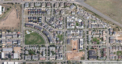
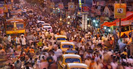
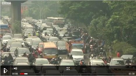
Throughout human history, people have long found unique value in living and working in cities, even if for reasons they couldn’t quite articulate. Put people together, and opportunities and ideas and wealth seem to grow at a more powerful rate than a simple sum of all our numbers. This has been intuitively true for centuries of city-dwellers.
"What people didn’t know," says MIT researcher Wei Pan, "is why."
In a new paper published in Nature Communications, Pan and several colleagues argue that the underlying force that drives super-linear productivity in cities is the density with which we're able to form social ties. The larger your city, in other words, the more people (using this same super-linear scale) you’re likely to come into contact with.
"If you think about productivity, it’s all about ideas, information flows, how easily you can access ideas and opportunities," Pan says. "We believe that the interaction mechanism is what drives the productivity of the city."
Via
Lauren Moss


 Your new post is loading...

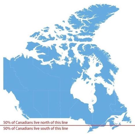


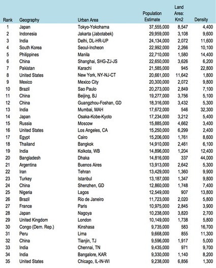


Factors influencing settlement patterns - concentrations of population