


 Your new post is loading...


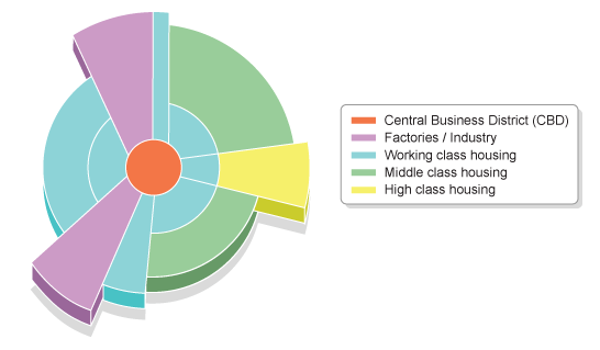

It is possible in many cities to identify zones with a particular type of land use - eg a residential zone. Often these zones have developed due to a combination of economic and social factors. In some cases planners may have tried to separate out some land uses, eg an airport is separated from a large housing estate.
The concentric and sector models in one news article? The BBC is showing once again the possibilities available if only the United States taught more geography in the schools.
Tags: urban, models, unit 7 cities, APHG.
Via Matthew Wahl

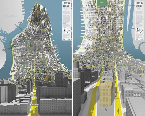







This article was great in that it left me with some great visuals and details on each of the models. For me, it's hard to remember each one of the models but this article really allowed me to compare each one and read about each one all in one place. The layout of the article was also nice and I think that it was just a great overall reminder of the models.
This article teaches you mainly about the Burgess and Hoyt Model. It compares the two, and it gives you detailed information on lots of the urbanization terms.
This article relates to Unit 7: Cities and Urban Land Use because it talks about how geographers drew up cities and made models of how cities were drawn up. It teaches you how they thought back then, and how urbanization has evolved from then to now.