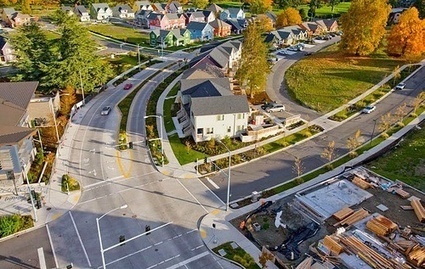
A community tries some relatively pain-free fixes to make its streets greener and more walkable...
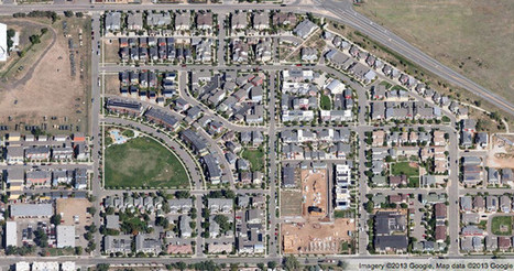
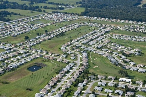
Most of us take the poor design of our streets – the most visible part of most suburban communities, if you think about it – so much for granted that it never occurs to us that they actually could be made better for the community and for the environment.
Consider, for example, main "arterial" streets so wide that pedestrians can’t cross them, even if there is a reason to; little if any greenery to absorb water, heat, or provide a calming influence; or residential streets with no sidewalks.
This is where Montgomery County’s new street-scape initiative comes in. It has done some things right, including the preservation of much of its farmland – in part by channeling growth into the central districts of Bethesda and Silver Spring, both served by D.C.’s rail transit system, and more recently by encouraging walkable redevelopment along the notoriously sprawled-out Rockville Pike corridor.
Via
Lauren Moss


 Your new post is loading...


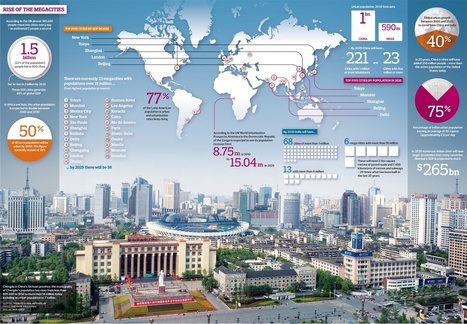


An advertisement but interesting