Your new post is loading...


This entry is part 2 of 2 in the series GIS and FileMaker
You’ve read our Mapping and More post.
You know what Geographic Information Systems are.
You’re starting to understand why you need GIS in FileMaker… now let’s get to the how.
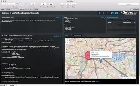
In this post we’re going to cover the basics of creating maps in your FileMaker solutions from built-in, no code required options to interactive Leaflet maps that require just a bit of HTML, CSS, & JS.
If you’re new to web programming and these acronyms make your cringe, don’t fear, we’re providing a demo file with all (**the minimal amount**) of the code you need to get started.
The demo file is actually set up as a sandbox where you can effortlessly experiment with creating maps and other webviewer technologies in FileMaker… more in bit.
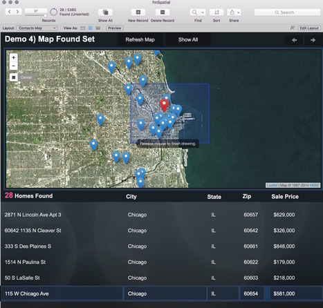
For now, let’s dive in assuming you have a database that stores mailing address information in some way, shape, or form and want an interactive map.
Read more on the blog ...