Learning Claris FileMaker
317.3K views | +7 today
Follow
Learning Claris FileMaker
Give life to your data with an easy to use database ... I'll share cool FileMaker stuff for you, avoiding the programming part of it as much as I can.                        #WorkplaceInnovationPlatform #Claris
Your new post is loading...
Scooped by Didier Daglinckx
Scoop.it!

Integrates Louisiana Coastal Service FileMaker App with ArcGIS Online

Integrates Louisiana Coastal Service FileMaker App with ArcGIS Online | Learning Claris FileMaker | Scoop.it
Louisiana Coastal Services (LCS) is a multidisciplinary law firm, land broker, mapping, and project management company that assists in making Louisiana coastal projects a success.

They have extended expertise in many domains, deep local knowledge, and a modern technology toolkit unlike any other firm. Their services include Regulatory Compliance, GIS Mapping, Grant Management, Litigation, and even Risk Management.

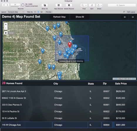
ArcGIS Online (AGOL) and FileMaker make up the bulk of LCS’s tech stack.

AGOL is powerful mapping platform that allows you to host data in the cloud and produce maps than can be embedded into websites.

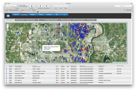
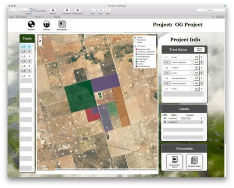
LCS figured out how to display these maps within FileMaker webviewers but quickly realized that wasn’t quite enough.

For example, users wanted to be able to click on tracts and open the corresponding FileMaker record.

They wanted to be able to change the status of a tract project in FileMaker and have the map update the tract feature’s color to reflect this change.

These types of interaction between the web and FileMaker are not trivial.

LuminFire was able to provide them with exactly what they required when other developers failed.


Read more on the blog ...

No comment yet.
Scooped by Didier Daglinckx
Scoop.it!

We Simplify Spatial. | FileMaker -  Cimbura.com

We Simplify Spatial. | FileMaker -  Cimbura.com | Learning Claris FileMaker | Scoop.it

We Simplify Spatial.


Cimbura.com GIS solutions help businesses derive value from data through maps, custom applications and spatial analyses.

Didier Daglinckx's insight:

Also look at the video

No comment yet.
Scooped by Didier Daglinckx
Scoop.it!

GIS and FileMaker - Mapping and More | Cimbura

GIS and FileMaker - Mapping and More | Cimbura | Learning Claris FileMaker | Scoop.it
FileMaker Devcon 2016’s unconference provided the perfect opportunity for us to speak about Geographic Information Science (GIS)–a subject we’re quite passionate about.


At Cimbura.com we’ve been offering GIS services for some time now ranging from simple webmaps to custom Geographic Information Systems built on FileMaker, WordPress, and other platforms.

The GIS apps we build help customers visualize, question, analyze, and interpret spatial data to better understand relationships, patterns, and trends.

Organizations of all sizes and in almost every industry are using GIS to solve business problems and analyze data with spatial context.


Read more on the blog ...

No comment yet.
Scooped by Didier Daglinckx
Scoop.it!

Adds Interactive Maps and GIS Integration to City of Omaha Housing and Community Development FileMaker Solution

Adds Interactive Maps and GIS Integration to City of Omaha Housing and Community Development FileMaker Solution | Learning Claris FileMaker | Scoop.it

The City of Omaha Planning Department Housing and Community Development (HCD) Division uses a FileMaker app as a key technology tool for managing city housing and community development projects.

The app is extensive.

It was built in-house over many years and is highly customized to departmental needs.

It tracks project applications, funding, contacts, vouchers, programs and more.


Read more eon the blog ...

No comment yet.
Scooped by Didier Daglinckx
Scoop.it!

GIS and FileMaker – Part 1: The Basics | Cimbura.com

GIS and FileMaker – Part 1: The Basics | Cimbura.com | Learning Claris FileMaker | Scoop.it

This entry is part 2 of 2 in the series GIS and FileMaker

You’ve read our Mapping and More post.

You know what Geographic Information Systems are.

You’re starting to understand why you need GIS in FileMaker… now let’s get to the how.

In this post we’re going to cover the basics of creating maps in your FileMaker solutions from built-in, no code required options to interactive Leaflet maps that require just a bit of HTML, CSS, & JS.

If you’re new to web programming and these acronyms make your cringe, don’t fear, we’re providing a demo file with all (**the minimal amount**) of the code you need to get started.

The demo file is actually set up as a sandbox where you can effortlessly experiment with creating maps and other webviewer technologies in FileMaker… more in bit.

For now, let’s dive in assuming you have a database that stores mailing address information in some way, shape, or form and want an interactive map.


Read more on the blog ...

No comment yet.