IELTS, ESP, EAP and CALL
18.5K views | +0 today
Follow
IELTS, ESP, EAP and CALL
Interesting links and articles related to IELTS, ESP, EAP and E-learning.  Available to teach ESP, EAP, Research Skills, IELTS, TOEFL and General English.
Curated by Dot MacKenzie
Your new post is loading...
Scooped by Dot MacKenzie
Scoop.it!

Interactive World Statistics

Interactive World Statistics | IELTS, ESP, EAP and CALL | Scoop.it

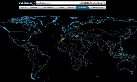
The Brazilian government's geographic department (Instituto Brasileiro de Geografia e Estatística-roughly equivalent to the U.S. Census Bureau) has compiled an fantastic interactive world factbook (available in English and Spanish as well as Portuguese).  The ease of navigation allows the user to conduct a specific search of simply explore demographic, economic, environmental and development data on any country in the world.    


Tags: population, worldwide, statistics, mapping, zbestofzbest.

No comment yet.
Scooped by Dot MacKenzie
Scoop.it!

Interactive: Mapping the World's Friendships

Interactive: Mapping the World's Friendships | IELTS, ESP, EAP and CALL | Scoop.it
Technology bridges distance and borders. Individuals today can keep in touch with their friends and family in completely new ways — regardless of where they live. We explored these internatio...


People can be digitally connected with anyone around the world these days, without any limitations by distance or culture.  Yet, by analyzing peoples social networks, it is clear that geographic factors are still a crucial factor in mediating our scoial interactions.  The internet can, but doesn't fully conquer space.    

Tags: socialmedia, worldwide, mapping. 

No comment yet.
Scooped by Dot MacKenzie
Scoop.it!

World Atlas with Geography Facts, Maps, Flags

World Atlas with Geography Facts, Maps, Flags | IELTS, ESP, EAP and CALL | Scoop.it
World Atlas is an educational resource for world maps, atlases, and in-depth geography information. Teachers and students: free maps of Europe, USA, Canada, Florida, Caribbean Islands and much more.


This World Atlas, in addition to have many maps at a variety of scales as is very common these days, has the added feature of embedding facts and other informative features based on your scale and regional context.  Students can explore this at their own pace to learn about what every region of the world that interests them the most.

No comment yet.