


Digital volunteers are racing to map regions in West Africa where the Ebola virus, which has a 90 percent fatality rate, continues to spread
Get Started for FREE
Sign up with Facebook Sign up with X
I don't have a Facebook or a X account


 Your new post is loading...
 Your new post is loading...
Your new post is loading...
Digital volunteers are racing to map regions in West Africa where the Ebola virus, which has a 90 percent fatality rate, continues to spread 
No comment yet.
Sign up to comment
|
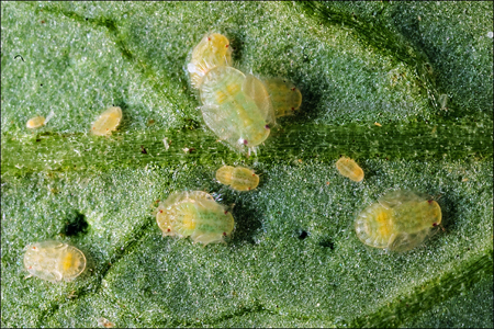
Zebra chip (ZC, also known as papa manchada and papa rayada) is a disease that is affecting potato production in the southwestern United States and in other countries, and which has been linked to potato psyllids (Bactericera cockerelli, which infests both potatoes and tomatoes) that harbor the bacterial plant pathogen ‘Candidatus Liberibacter solanacearum’.
Until recently, the epidemiology of ZC was unknown, motivating research to elucidate the spatial and temporal patterns of ZC infections in potato fields. Studies were performed in multiple commercial potato fields located in the Texas Panhandle, wherein locations of ZC-affected potato plants were georeferenced or counted within large plots and along belt transects consisting of contiguous 10-by-10-m quadrats. The frequency of ZC infections within belt transect quadrats was well described by negative binomial and zero-inflated negative binomial distributions, in agreement with observed clustering of infections and distance-based spatial statistical results.
Plant Disease, Volume 96, Issue 7, Page 948-956, July 2012. By D. C. Henne, F. Workneh and C. M. Rush, Texas AgriLife Research http://dx.doi.org/10.1094/PDIS-09-11-0805-RE Via Knapco
|


The use of OpenStreetMap (OSM) as an unifying geodata system is increasing in humanitarian aid. The current Ebola outbreak in West Africa is a challenge at multiple levels for teams trying to coordinate a response. Due to years of war there are few up to date maps in the region and multiple boundaries mean different groups are collecting data. Digital volunteers creating new OSM entries will be a key asset in enabling health officials to manage the outbreak and hopefully bring things under control.