


We pored through the massive set of images of Earth from space to show you some of our favorites.
Get Started for FREE
Sign up with Facebook Sign up with X
I don't have a Facebook or a X account


 Your new post is loading...
 Your new post is loading...
Your new post is loading...
We pored through the massive set of images of Earth from space to show you some of our favorites.
PIRatE Lab's insight:
Awesome photos! In particular there are several that illustrate some killer coastal management challenges and our history of manipulating sea- and landscapes.

No comment yet.
Sign up to comment
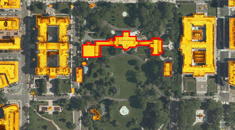
Have you ever wondered what the solar potential of your home is? Or where you work? Or the White House maybe? A new interactive map commissioned by the District Department of the Environment and created by Mapdwell allows users to click on almost any building in the city and see "how much electricity can be produced on their rooftops from solar photovoltaic (PV) systems, how the financial investment will pay off, and how much pollution will be reduced." You can also see where solar systems are already installed and what the yearly financial benefit is. The data used to create the map comes from the Army's Light Detection and Ranging (Lidar) system, aerial imagery from the D.C. Geographic Information System and building footprints from EarthData International, Inc. Mapdwell is "a collaborative effort by researchers, academics, and professionals at MIT." Via Lauren Moss
|

If all the movements to split/change U.S. states had gone through, we would look like this.
PIRatE Lab's insight:
Secessionist movements are all the rage these days. A handful of counties in Colorado tried to secede from the rest of the state earlier this year. There's an attempt to create the State of Jefferson (northern California/southern Oregon) via ballot initiative in 2014. And there's plenty more. Most recently (October of 2013) a millionaire Silicon Valley Venture Capitalist proposed splitting California into six states (note that the map here was produced with proposals up until the end of 2011 only). Apparently because the tech/Libertarian folks seem to dislike government regulation…except when it comes to things like enforcing their patents, protecting their intellectual property, their IPOs, etc. (but I digress).
It is interesting to note that the coastal states on the eastern seaboard are more or less stable. But the western and Gulf of Mexico states shift quite a bit, particularly in the coastal zone proper. Only the interior west of the U.S. has such a concentration of changed boundaries.
It is also interesting to note that there are apparently several folks interested in annexing the land of our friends in Mexico, but no one has proposed annexing Canadian territory. What ever could be behind that?
|


